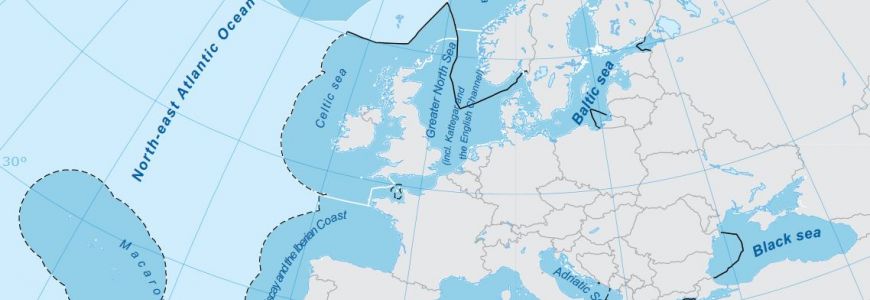
The report is an overview of the 2012 spatial distribution of the networks of marine protected areas (MPAs) established in the waters of the EU, excluding overseas territories.
The report contains a detailed explanation of the methodology and data sets used and the reasoning behind the spatial statistical analysis outlining the distribution of marine MPAs established by EU Member States in the regional seas surrounding Europe. In so doing, the report also covers aspects concerning data-handling issues experienced during the analysis process, explanations of problem resolutions, and suggestions for improvement of future iterations of the same analysis.
Report: https://www.eea.europa.eu/publications/spatial-analysis-of-marine-protected
Recipient: EEA